RTMM: Real Time Mission Monitor
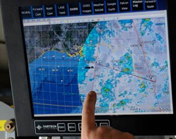
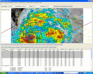
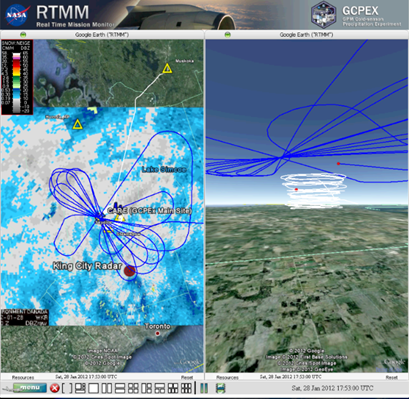
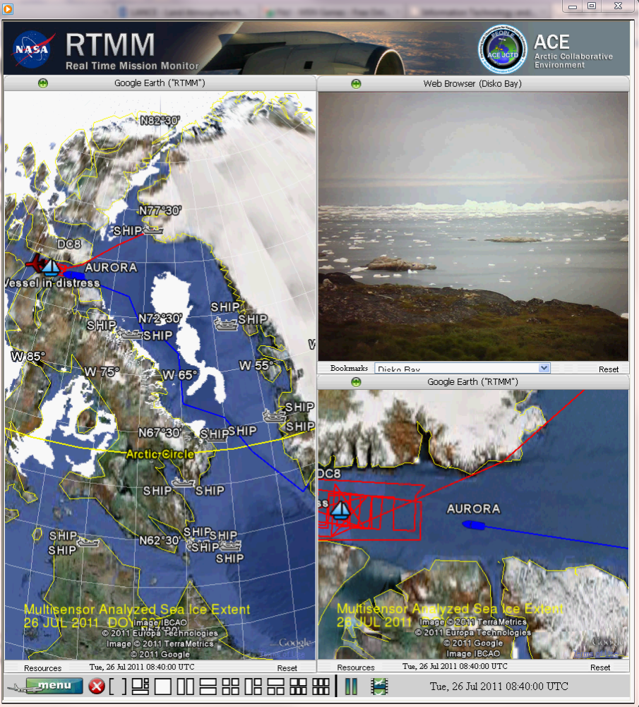
The Real Time Mission Monitor (RTMM) is a situational awareness, decision-support system that integrates satellite imagery, radar, surface and airborne instrument data sets, model output parameters, lightning location observations, aircraft navigation data, soundings, and other applicable Earth science data sets to facilitate field experiment management. RTMM optimizes science and logistic decision-making during field experiments by presenting timely data, graphics and visualizations to the users to improve real time situational awareness of the experiment's assets. The integration and delivery of this information is made possible through data acquisition systems, network communication links, and network server resources. The RTMM uses the Google Earth application for the user visualization display.