PUBLICATIONS and PRESENTATIONS
Found 41 results
Filters: First Letter Of Last Name is C [Clear All Filters]
. Verification of XML Encoded Petri Nets Modeling Cyberattacks. Proceedings of the 2019 AlaSim Conference and Exhibition. 2019 .
. Physics-Based Modeling of Crowd Evacuation in the Unity Game Engine. International Journal of Modeling, Simulation, and Scientific Computing. 2018 ;9(4).
. Structured Face Validation of Extended Petri Nets for Modeling Cyberattacks. 2018 AlaSim International Conference and Exposition. 2018 :123-139.
. A Model-based Systems Engineering Assessment of Cyber Security Modeling Methods. 2018 AlaSim International Conference and Exposition. 2018 :110-122.
. Application of EarlyLEAD to Study QPF Across the Mid-Atlantic. In: LEAD NSF Site Review. LEAD NSF Site Review. University of Illinois, Urbana Champaign; 2005.
. Service Oriented Architecture for Data Mining at Data Centers and Computing Centers. Cloud Computing and Collaborative Technologies in Geosciences. 2009 .
. Estimation of Surface and Top-of-Atmosphere Shortwave Irradiance in Biomass-Burning Regions during SCAR-B. Journal of Applied Meteorology. 2000 ;39:1742-1753.
. Shortwave Direct Radiative Forcing of Biomass Burning Aerosols Estimated Using VIRS and CERES Data. Geophysical Research Letters. 2000 ;27:2197-2200.
. EarlyLEAD: A WRF ensemble demonstrating LEAD's data mining capability. 22nd International Conference on Interactive Information Processing Systems (IIPS), 86th American Meteorological Society Annual Meeting. 2006 .
. Deep Learning for Multisensor Image Resolution Enhancement. In: GeoAI’17: 1st ACM SIGSPATIAL Workshop on Artificial Intelligence and Deep Learning for Geographic Knowledge Discovery. GeoAI’17: 1st ACM SIGSPATIAL Workshop on Artificial Intelligence and Deep Learning for Geographic Knowledge Discovery. Redondo Beach, CA USA: ACM; 2017.
. ISO Lineage Metadata at the AMSR-E SIPS. ESIP Federation Winter Meeting 2013 [Internet]. 2013 . Available from: http://commons.esipfed.org/node/1037
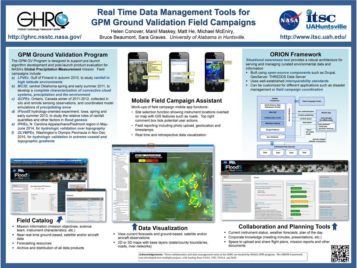
. Real Time Data Management Tools for GPM Ground Validation Field Campaigns. ESIP 2014 Winter Meeting [Internet]. 2014 . Available from: http://www.itsc.uah.edu/main/sites/default/files/GPMGV-Poster-ESIP-2014-01_sm.png
. LANCE AMSR-E Status. College Park, MD: LANCE User Working Group Meeting; 2010.
. Service Oriented Architecture for Harvesting Distributed Data Repositories. NASA Earth Science Technology Conference [Internet]. 2006 . Available from: http://esto.nasa.gov/conferences/estc2006/papers/a4p3.pdf
. Key Provenance of Earth Science Observational Data Products. American Geophysical Union. 2011 .
. A Prototype for Earth Science Data on Demand. American Geophysical Union 2004 Fall Meeting. 2004 .
. Provenance as a Guide to Understanding Science Data. IEEE International Geoscience and Remote Sensing Symposium. 2013 .
. V0 IMS Server Cookbook. UAH Information Technology and Systems Center, Huntsville, AL for NASA GSFC, Greenbelt, MD; 1996.
. GRIP Collaboration Portal: Information Management for a Hurricane Field Campaign. In: American Geophysical Union. American Geophysical Union. ; 2010.
. Advanced Information Management Services in SCOOP, an IOOS Testbed. In: Joint Assembly of the American Geophysical Union. Joint Assembly of the American Geophysical Union. Baltimore, MD; 2006.
. Collaboration Portals for NASA’s Airborne Field Campaigns (invited). American Geophysical Union. 2011 .
. SCOOP Data Management: A Standards-based Distributed Information System for Coastal Data Management. In: Standards-Based Data and Information Systems for Earth Observation. Standards-Based Data and Information Systems for Earth Observation. Springer-Verlag; 2010. pp. 93-111. Available from: http://www.springerlink.com/content/h72m155753p3m2g6/
. Introducing Provenance Capture into a Legacy Data System. IEEE Transactions on Geoscience and Remote Sensing. 2013 ;51(11).
. Enhancements to the V0 IMS Client/Server Message Protocol. UAH Information Technology and Systems Center, Huntsville AL, for NASA GSFC, Greenbelt, MD; 1997.
. Instant Karma:
Accessing Provenance Information for AMSR-E Science Data Products. AMSR-E Science Team Meeting. 2011 .
