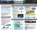
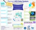
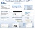
Helen Conover
 , ,  |
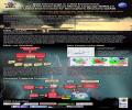
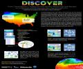
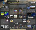
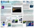
GHRC brochure 2014 |
")
")
")
")
")
")
")
")
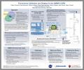
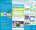
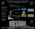
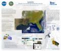
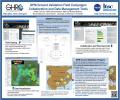
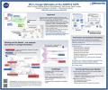
 AMSR2 Data System (AGU Fall Meeting 2016)")
")
")
")
")
")
")

Products
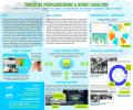
The mobile app "TransplantPro" allows transplant professionals to connect to other transplant professionals. Most commonly used transplant calculators are built into this app. Additionally, the app provides information about the recent publications and news on various categories of...

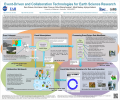
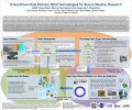
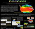
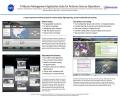
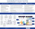
HyDRO (the Hydrologic Data search, Retrieval, and Order system) allows users to search the GHRC database for specific data sets. HyDRO was developed to make the tasks of locating and selecting candidate GHRC data sets easier and more intuitive for the end user. HyDRO can provide the user with a...
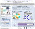
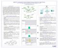
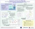
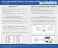
Several provenance collection and display tools have resulted from provenance research at ITSC in conjunction with the AMSR-E SIPS.The Earth science Library for Processing History (ELPH) is a provenance collection software library developed in Perl for integration into the SIPS...
Projects

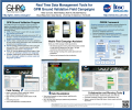
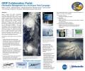
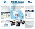
The NASA Global Precipitation Measurement Mission (GPM) Ground Validation (GV) program as a member of the broader NASA Precipitation Measurement Mission is providing ground and airborne precipitation datasets supporting physical validation of satellite-based precipitation retrieval algorithms....

Instant Karma is a collaboration among AMSR-E SIPS, the provenance researchers at Indiana University's Data to Insight Center, and the AMSR-E Sea Ice science team. The goals of the project are to improve the collection, preservation, utility, and dissemination of provenance information within...
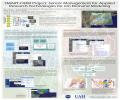
Funded by UAHuntsville URII grant, “Mobile Application for Healthcare Providers in Transplant Care” project involves development of a collaborative environment and supporting mobile application for transplant professionals. The mobile application uses the collaborative environment as the...

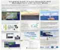
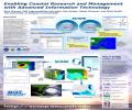
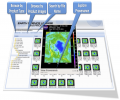
The primary goal of the VISAGE project is to facilitate more efficient Earth Science investigations via a tool that can provide visualization and analytic capabilities for diverse coincident datasets. The target user community is Earth scientists that require diverse measurements to help them...
