PUBLICATIONS and PRESENTATIONS
. Development of a Web-Based Mobile Technology Application for Healthcare Providers in Transplant Care. In: UA System Scholars Institute. UA System Scholars Institute. Birmingham, AL; 2012.
. Disaster Response and Analysis Through Event-Driven Data Delivery (ED3) Technology – an Overview. SERVIR Summit. 2012 .
. GLIDER: A Platform for Remote Sensing Data Visualization/Fusion/Analysis. In: Hyperspectral & Polarimetric Community Collaboration Workshop. Hyperspectral & Polarimetric Community Collaboration Workshop. Huntsville, AL; 2012. Available from: http://smapcenter.uah.edu/SMAP-CENTER/Conferences/HyperPolar2012/index.html
. A Large Scale Sensor Network Simulation for Aircraft/Missile Detection/Tracking. In: Hyperspectral & Polarimetric Community Collaboration Workshop. Hyperspectral & Polarimetric Community Collaboration Workshop. Huntsville, AL; 2012. Available from: http://smapcenter.uah.edu/SMAP-CENTER/Conferences/HyperPolar2012/index.html
Mapping the biosphere: exploring species to understand the origin, organization and sustainability of biodiversity. Systematics and Biodiversity. 2012 ;10(1):1-20.
. A Metadata Catalog for the Northern Gulf Coastal Hazards Collaboratory. [Internet]. 2012 . Available from: https://www.itsc.uah.edu/sites/default/files/2011_coastalhazards_poster.jpg
. A Metadata Catalog for the Northern Gulf Coastal Hazards Collaboratory. Northern Gulf Coastal Hazards Collaboratory Annual Meeting. 2012 .
. Mine Your Data: GLIDER brings data mining to the masses. [Internet]. 2012 . Available from: https://www.itsc.uah.edu/sites/default/files/esipmeeting2011_glider.jpg
. Orion: An Open Source Collaborative Framework. In: Geo Huntsville Conference. Geo Huntsville Conference. Huntsville, AL: Geo Huntsville Conference; 2012.
. Passive Microwave Data Set Management Workshop. [Internet]. 2012 ;24(1):30-31. Available from: http://eospso.gsfc.nasa.gov/eos_homepage/for_scientists/earth_observer.php
. Provenance Collection and Display for the AMSR-E SIPS. [Internet]. 2012 . Available from: https://www.itsc.uah.edu/sites/default/files/ESIPmeeting2012_ProvenancePoster_0.jpg
. Report on Air Quality Projects in Alabama and the Southeastern US”, . In: Geo Huntsville Conference. Geo Huntsville Conference. Huntsville, AL: Geo Huntsville Conference; 2012.
. Talkoot: Software Tool to Create Collaboratories for Earth Science. Earth Science Informatics. 2012 ;5(1).
. Technology for the Transplant Professional: Making it work for you instead of against you. In: NATCO Symposium for Advanced Transplant Professionals. NATCO Symposium for Advanced Transplant Professionals. Miami, FL; 2012.
. Using Unclassified Multi-Spectral Data to Improve OPIR Analysis. In: Hyperspectral & Polarimetric Community Collaboration Workshop. Hyperspectral & Polarimetric Community Collaboration Workshop. Huntsville, AL; 2012. Available from: http://smapcenter.uah.edu/SMAP-CENTER/Conferences/HyperPolar2012/index.html
. Air Quality Science Supporting Decision Making for the Alabama Forestry Commission. In: UAH Atmospheric Science Dept. Weekly Brownbag. UAH Atmospheric Science Dept. Weekly Brownbag. Huntsville, AL; 2011.
. Collaboration Portals for NASA’s Airborne Field Campaigns (invited). American Geophysical Union. 2011 .
. A Collaborative Environment for the Northern Gulf Coastal Hazards Collaboratory. Northern Gulf Institute. 2011 .
. A Collaborative Multidisciplinary Environment for Coastal Science. American Geophysical Union Fall Meeting. 2011 .
. Coordinating Aircraft During NASA Airborne Science Field Campaigns. In: Earth Science Technology Forum. Earth Science Technology Forum. Pasadena, CA; 2011.
. Data Casting for Integration of Applied Science Projects. In: ESIP Winter Meeting. ESIP Winter Meeting. Washington D.C.; 2011.
. DynamicSD: Discover Dynamic and Uncertain Services in Pervasive Computing Environments. In: IEEE International Conference on Computer Communication Networks. IEEE International Conference on Computer Communication Networks. ; 2011.
. GLIDER: Application for Earth Science Data Mining and Visualization. In: Rocket City Geospatial & Alabama GIS Conference. Rocket City Geospatial & Alabama GIS Conference. Huntsville, AL; 2011.
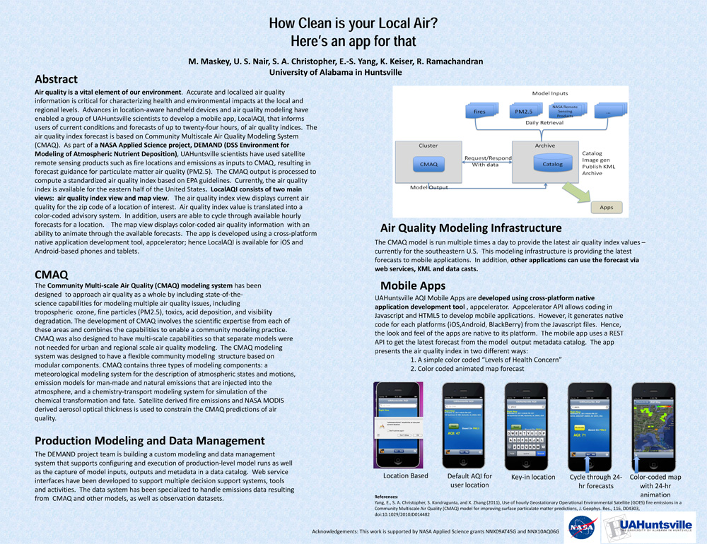
. How Clean is your Local Air? Here's an app for that. AGU 2011 [Internet]. 2011 . Available from: https://www.itsc.uah.edu/main/sites/default/files/agu2011_DEMAND-AQ-Poster.jpg
