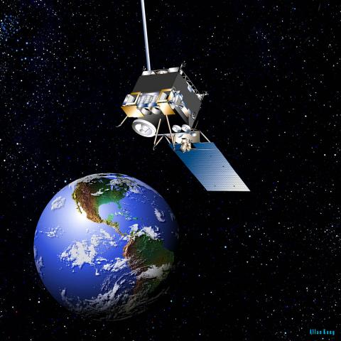
Two GOES Imagery datasets published

GHRC published two GOES Imagery datasets: GPM Ground Validation GOES 13 Visible and Infrared Images MC3E and GPM Ground Validation GOES 13 Visible and Infrared Images GCPEx. These GOES datasets include IR3, IR4, and visiblity imagery files collected at 15 minute intervals in near real-time during the mission and were used by the Real Time Mission Monitor (RTMM). The Midlatitude Continental Convective Clouds Experiment (MC3E) took place in central Oklahoma and has files available for dates between May 6, 2011 and June 30, 2011. The GPM Cold-Season Precipitation Experiment (GCPEx) occurred in Ontario, Canada, and has files available for dates between January 1, 2012 and March 13, 2012.
- Log in to post comments


