Dr Sara Graves
")
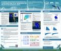
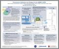
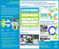
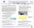
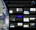
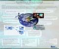
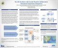
 to Enhance the Spatial Resolution of GPM (AGU Fall Meeting 2021)")
")
")
")
")
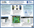
 Distributed Active Archive Center (DAAC) (NWA 2019)")
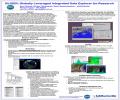
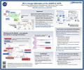
 Dual-Frequency Precipitation Radar (DPR) Resolution Improvement (AGU Fall Meeting 2018)")
")
")
")
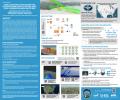
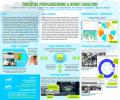
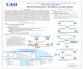
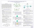
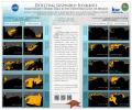
 in Emergency and Disaster Response Scenarios to Support Integration of Geospatial Technologies into Local Emergency Management: A Use Case Study with GeoHuntsville in Huntsville, Alabama (AGU Fall Meeting 2017)")
")
")
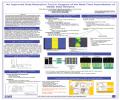
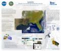
 AMSR2 Data System (AGU Fall Meeting 2016)")
")
 (2016 NSF EarthCube All Hands Meeting - July 6-8 in Denver, CO)")
")
")
")
")

Products
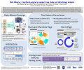
The Spyglass tool is designed to help analysts explore very large collections of unstructured text documents. Spyglass uses a domain ontology to index documents and provides retrieval and visualization services based on the ontology and the resulting index. The ontology based approach allows...
Projects
")
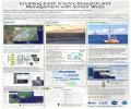
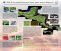
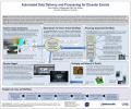
Event-driven data generation and processing directly supports Situational Awareness and Disaster Resilience. An ITSC-developed Event-Driven Data Delivery (ED3) framework is being used to build applications and tools that provide data preparedness for disaster and hazard responders and...

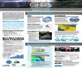
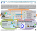
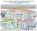
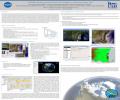
A key component of NASA’s Earth Observing System is its field experiments, for intensive observation of particular phenomena such as hurricanes, or for ground validation of satellite observations. These field experiments collect many datasets from a wide variety of satellite, airborne, and...

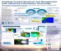
The Northern Gulf Coastal Hazards Collaboratory (NG-CHC), funded by the NSF Experimental Program to Stimulate Competitive Research (EPSCoR) Research Infrastructure Track II program, is using cyberinfrastructure to catalyze collaborative research and education and reduce risks to coastal....

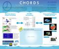
The Cloud-Hosted Real-time Data Services for the Geosciences (CHORDS), a real-time data management infrastructure will provide a system to archive, navigate and distribute real-time data streams via the Internet, and employ data and metadata formats that adhere to standards, which simplify the...

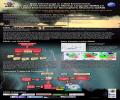
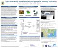
Data Album technology provides the automatic aggregation of data and information from multiple resources for specified events, such as hurricanes and other severe weather anomalies. Albums are auto-generated by a reusable and scalable Knowledge Synthesis Engine, using domain knowledge encoded...

A Consortium led by the University of Alabama in Huntsville with partners Alabama A&M University and Tuskegee University has been designated an Intelligence Community Center of Academic Excellence (IC CAE) in the area of Critical Technologies. The IC CAE program is a congressionally...

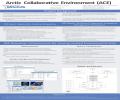
The Arctic Collaborative Environment (ACE) is the Arctic focused project within the broader Partnering Earth Observations for People Living Environmentally (PEOPLE) initiative. The goal of the ACE Joint Capability Technology Demonstration (JCTD) is to enable local, regional, and international...

University scientists are often at the forefront of technology, using new tools and new techniques to advance their research. Unfortunately cyber security is sometimes sacrificed in the march towards scientific progress. The SoutheastSECURE program is designed to increase cyber security...
