Several GPM Guide Documents Published
GHRC has completed guide documentation for several previously published datasets from GPM Ground Validation campaigns. These datasets are:
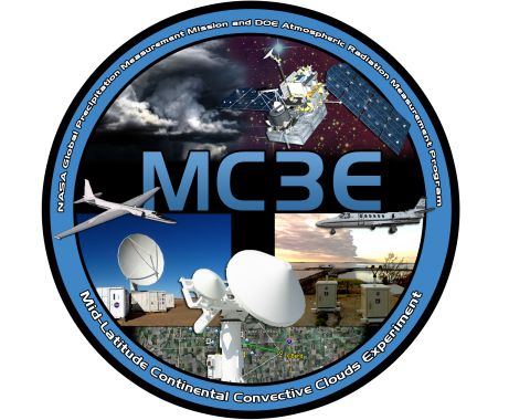
- GPM Ground Validation Composite Satellite Overpasses GCPEx and GPM Ground Validation Composite Satellite Overpasses MC3E. These composite satellite overpass datasets contain radiometric data from satellites the campaign study area (SSMIS for GCPEx and AQUA for MC3E) matched with other datasets to carry out land surface emissivity studies. The other datasets included the NEXRAD NMQ radar mosaic, the NOAA IMS and the NASA/GMAO MERRA. The NEXRAD NMQ radar mosaic provided knowledge of rain structure and intensity at the time of the overpass, as well as the previous accumulated precipitation prior to the satellite overpass time. The NOAA IMS provided a snow mapping system to identify surface snow or ice cover. The NASA/GMAO MERRA provided data for land and atmospheric reanalysis for background land and atmospheric state needed for microwave radiative transfer calculations. The identified SSMIS and AQUA satellites overpasses passed within 700-km of the central field site. GPM Cold-season Precipitation Experiment (GCPEx) took place in Ontario, Canada, January 15, 2012 through February 29, 2012 and the Midlatitude Continental Convective Clouds Experiment (MC3E) took place in central Oklahoma April 22 - June 5, 2011.
- GPM Ground Validation Environment Canada (EC) Micro Rain Radar (MRR) GCPEx. The MRR is a vertically pointing Doppler radar perating at 24 GHz which retrieved quantitative rain rates, drop size distributions, radar reflectivity, and fall velocities on vertical profiles up to several kilometers above the unit during the GPM Cold-season Precipitation Experiment (GCPEx) in Ontario, Canada, winter 2012. The MRR used during GCPEX is the second generation of the instrument manufactured by METEK (URL: http://www.metek.de/product-details/mrr-2.html).
- GPM Ground Validation Environment Canada (EC) Visibility Sensor FD12P and Present Weather Detector GCPEx. Data was collected January 15 through March 1, 2012 in Huronia, Canada for the GPM Cold-season Precipitation Experiment (GCPEx). The FD12P combines the functions of a forward scatter visibility meter and a present weather detector and specifies visibility in one and ten minute averages. Weather conditions are specified using codes by National Weather System and the World Meteorological Organization. The dataset also measures the intensity and the amount of both liquid and solid precipitation.
- GPM Ground Validation Environment Canada (EC) Web Camera Images GCPEx. Data was collected by fixed outdoor cameras at five sites in Ontario, Canada during the GPM Cold-season Precipitation Experiment (GCPEx) in winter 2012. The AXIS P1343-E network camera has day/night functionality with an automatically controlled IR filter, adapting to both daylight and dark lighting conditions. These images provide visual records of the weather conditions at the site throughout the day.
- Log in to post comments
