VISAGE (Visualization for Integrated Satellite, Airborne, and Ground-based data Exploration)
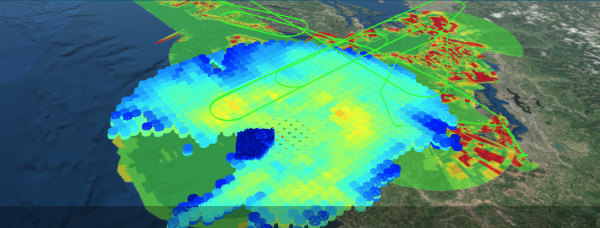
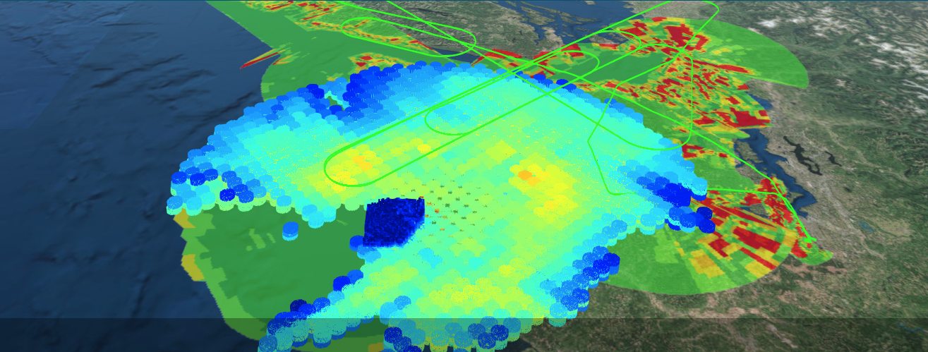
Diverse airborne and ground-based environmental observations are important technologies for disaster assessment and response, as well as for the validation of environmental satellite observations and atmospheric models which can improve forecasts. The VISAGE (Visualization for Integrated Satellite, Airborne and Ground-based data Exploration) project is working to provide three-dimensional visualization and basic analytics capabilities for such datasets in an interactive user interface, using cloud-native, serverless technologies for analysis optimized data stores. VISAGE combines and extends recent efforts to provide data-centric technology including on-line data fusion, exploration, analysis and delivery capabilities which will increase the usability and inter-use of Earth science data, support broader reuse, and speed production and publication of results.
The primary goal of the VISAGE project is to facilitate more efficient Earth Science investigations via a tool that can provide visualization and analytic capabilities for diverse coincident datasets. The target user community is Earth scientists that require diverse measurements to help them address science research and analysis questions, as well as those who use numerical weather prediction models to conduct Earth Science investigations (i.e., Research and Analysis). The project is focusing on datasets acquired during NASA’s GPM Ground Validation activities because the proposed capabilities have been identified as a need by NASA’s Precipitation Measurement Mission (PMM) Science Team, which has been tasked with using GPM data to better understand Earth’s water cycle, weather and climate. The data are from a wide variety of ground-based, airborne and satellite instruments, with diverse spatial and temporal scales, variables, and formats, which makes these data difficult to use together. The resulting tools support physical process studies as well as satellite and model validation.


